Arvada, Colorado Zip Codes
Arvada is located in Jefferson County, Colorado. It has 8 zip codes with a combined population of 85,093. The primary area code is 303 / 720. Arvada is in the Mountain Time Zone.
City
Arvada
State
Colorado
County
Jefferson
Zip Codes
8
Population
85,093
Area Code
303 / 720
Arvada is a home rule municipality in Jefferson and Adams counties, located northwest of Denver.
All Arvada Zip Codes
| Zip Code | City | County | Population | Type | Details |
|---|---|---|---|---|---|
| 80002 | Arvada | Jefferson | 20,589 | Standard | View |
| 80004 | Arvada | Jefferson | 35,349 | Standard | View |
| 80005 | Arvada | Jefferson | 29,155 | Standard | View |
Arvada Zip Codes Map
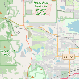
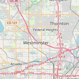
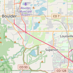
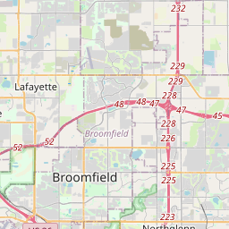
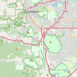
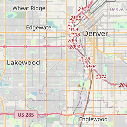
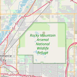
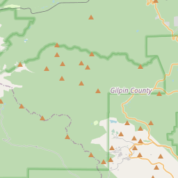
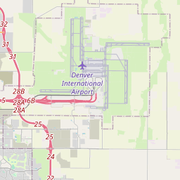
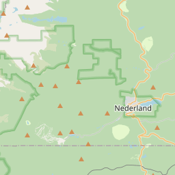
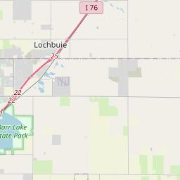
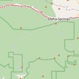
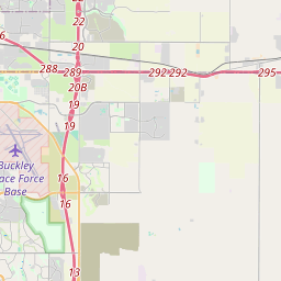
Interactive map of Arvada, Colorado zip codes. Click a marker for details.
Arvada Demographics Summary
Total Population
85,093
Zip Codes
3
Avg. Median Income
$104,418
Avg. Home Value
$541,800
All demographic data on this page is sourced from the U.S. Census Bureau American Community Survey (ACS) 5-Year Estimates. ZIP code boundary and delivery data is sourced from the United States Postal Service (USPS). Data is updated periodically and may not reflect the most current figures.
Frequently Asked Questions
Explore Nearby Colorado Cities
Wheat Ridge
Jefferson County • 4 zip codes
View Zip CodesWestminster
Adams County • 12 zip codes
View Zip CodesLakewood
Jefferson County • 12 zip codes
View Zip CodesDenver
Denver County • 48 zip codes
View Zip CodesBroomfield
Broomfield County • 6 zip codes
View Zip CodesNorthglenn
Adams County • 4 zip codes
View Zip Codes