Denver County, Colorado Zip Codes
Denver County is located in Colorado with a population of 741,519. The county seat is Denver. Denver County contains 48 zip codes and covers 153.3 sq mi of land area. The primary area code is 303 / 720.
County
Denver
County Seat
Denver
State
Colorado
Zip Codes
48
Population
741,519
Land Area
153.3 sq mi
Area Code
303 / 720
Denver County is coextensive with the City and County of Denver, the capital and most populous city of Colorado.
All Denver County Zip Codes
| Zip Code | City | Population | Type | Details |
|---|---|---|---|---|
| 80202 | Denver | 18,180 | Standard | View |
| 80203 | Denver | 21,650 | Standard | View |
| 80204 | Denver | 34,534 | Standard | View |
| 80205 | Denver | 34,289 | Standard | View |
| 80206 | Denver | 24,903 | Standard | View |
| 80209 | Denver | 25,180 | Standard | View |
| 80210 | Denver | 37,792 | Standard | View |
| 80211 | Denver | 36,187 | Standard | View |
| 80207 | Denver | 22,313 | Standard | View |
| 80212 | Denver | 20,418 | Standard | View |
| 80216 | Denver | 16,564 | Standard | View |
| 80218 | Denver | 18,679 | Standard | View |
| 80219 | Denver | 64,696 | Standard | View |
| 80220 | Denver | 36,236 | Standard | View |
| 80221 | Denver | 40,140 | Standard | View |
| 80222 | Denver | 23,619 | Standard | View |
| 80223 | Denver | 19,848 | Standard | View |
| 80224 | Denver | 18,613 | Standard | View |
| 80230 | Denver | 10,512 | Standard | View |
| 80231 | Denver | 34,484 | Standard | View |
| 80236 | Denver | 16,183 | Standard | View |
| 80237 | Denver | 22,393 | Standard | View |
| 80238 | Denver | 29,391 | Standard | View |
| 80239 | Denver | 46,450 | Standard | View |
| 80247 | Denver | 28,580 | Standard | View |
| 80249 | Denver | 39,685 | Standard | View |
Denver County Map
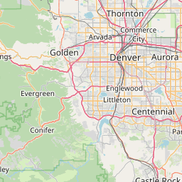
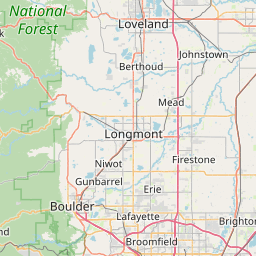
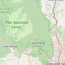

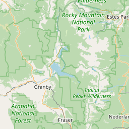
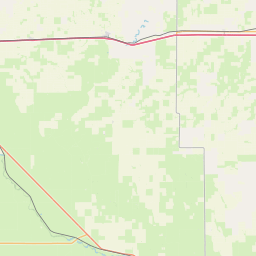
Interactive map of Denver County, Colorado zip codes.
Cities in Denver County
Denver County Demographics
Population
741,519
Zip Codes
26
Cities
1
All demographic data on this page is sourced from the U.S. Census Bureau American Community Survey (ACS) 5-Year Estimates. ZIP code boundary and delivery data is sourced from the United States Postal Service (USPS). Data is updated periodically and may not reflect the most current figures.