Arapahoe County, Colorado Zip Codes
Arapahoe County is located in Colorado with a population of 655,070. The county seat is Littleton. Arapahoe County contains 35 zip codes and covers 805 sq mi of land area. The primary area code is 303 / 720.
County
Arapahoe
County Seat
Littleton
State
Colorado
Zip Codes
35
Population
655,070
Land Area
805 sq mi
Area Code
303 / 720
Arapahoe County is located in the Denver metropolitan area and includes parts of Aurora, Centennial, and Littleton.
All Arapahoe County Zip Codes
| Zip Code | City | Population | Type | Details |
|---|---|---|---|---|
| 80112 | Englewood | 36,058 | Standard | View |
| 80120 | Littleton | 30,421 | Standard | View |
| 80013 | Aurora | 73,870 | Standard | View |
| 80014 | Aurora | 39,024 | Standard | View |
| 80015 | Aurora | 72,841 | Standard | View |
| 80010 | Aurora | 42,892 | Standard | View |
| 80011 | Aurora | 52,633 | Standard | View |
| 80012 | Aurora | 52,741 | Standard | View |
| 80016 | Aurora | 64,842 | Standard | View |
| 80017 | Aurora | 40,299 | Standard | View |
| 80018 | Aurora | 15,569 | Standard | View |
| 80040 | Aurora | 5,800 | Standard | View |
| 80111 | Centennial | 32,116 | Standard | View |
| 80121 | Centennial | 18,049 | Standard | View |
| 80122 | Centennial | 31,650 | Standard | View |
| 80110 | Englewood | 24,190 | Standard | View |
| 80113 | Englewood | 22,784 | Standard | View |
Arapahoe County Map
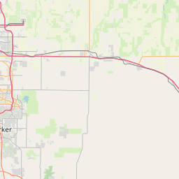
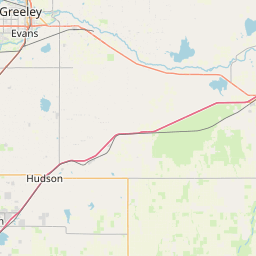
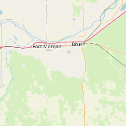
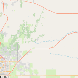
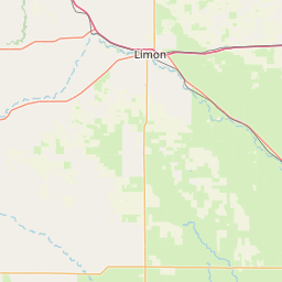
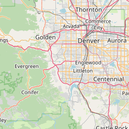
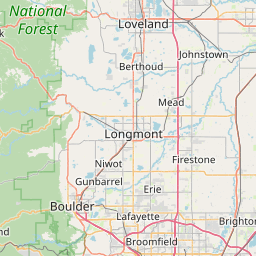
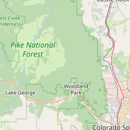

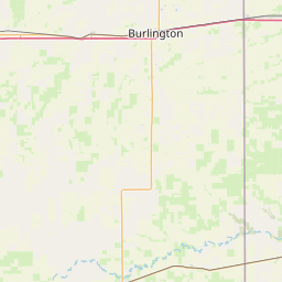
Interactive map of Arapahoe County, Colorado zip codes.
Cities in Arapahoe County
Arapahoe County Demographics
Population
655,070
Zip Codes
17
Cities
4
All demographic data on this page is sourced from the U.S. Census Bureau American Community Survey (ACS) 5-Year Estimates. ZIP code boundary and delivery data is sourced from the United States Postal Service (USPS). Data is updated periodically and may not reflect the most current figures.