Broomfield County, Colorado Zip Codes
Broomfield County is located in Colorado with a population of 114,591. The county seat is Broomfield. Broomfield County contains 6 zip codes and covers 34 sq mi of land area. The primary area code is 303 / 720.
County
Broomfield
County Seat
Broomfield
State
Colorado
Zip Codes
6
Population
114,591
Land Area
34 sq mi
Area Code
303 / 720
Broomfield County is a consolidated city-county created in 2001, located along the US-36 corridor between Denver and Boulder.
All Broomfield County Zip Codes
| Zip Code | City | Population | Type | Details |
|---|---|---|---|---|
| 80020 | Broomfield | 53,475 | Standard | View |
| 80021 | Broomfield | 35,128 | Standard | View |
| 80023 | Broomfield | 25,988 | Standard | View |
Broomfield County Map
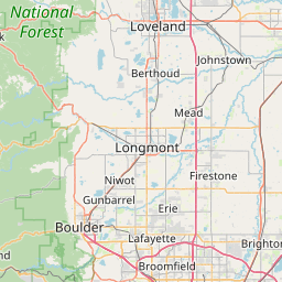
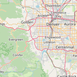

Interactive map of Broomfield County, Colorado zip codes.
Cities in Broomfield County
Broomfield County Demographics
Population
114,591
Zip Codes
3
Cities
1
All demographic data on this page is sourced from the U.S. Census Bureau American Community Survey (ACS) 5-Year Estimates. ZIP code boundary and delivery data is sourced from the United States Postal Service (USPS). Data is updated periodically and may not reflect the most current figures.