La Plata County, Colorado Zip Codes
La Plata County is located in Colorado with a population of 56,039. The county seat is Durango. La Plata County contains 12 zip codes and covers 1,700 sq mi of land area. The primary area code is 970.
County
La Plata
County Seat
Durango
State
Colorado
Zip Codes
12
Population
56,039
Land Area
1,700 sq mi
Area Code
970
La Plata County is in southwestern Colorado, home to Durango and near Mesa Verde National Park.
All La Plata County Zip Codes
| Zip Code | City | Population | Type | Details |
|---|---|---|---|---|
| 81301 | Durango | 29,894 | Standard | View |
| 81302 | Durango | 12,500 | Standard | View |
| 81303 | Durango | 9,440 | Standard | View |
La Plata County Map
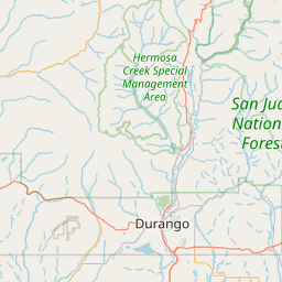
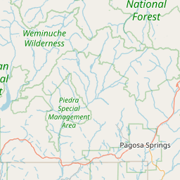
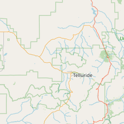
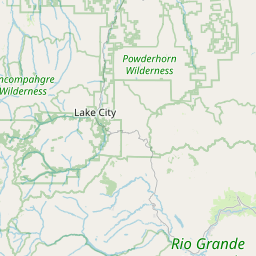
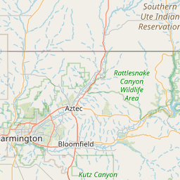
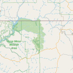
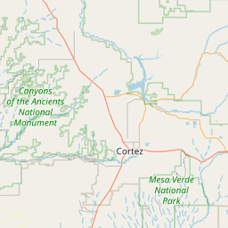
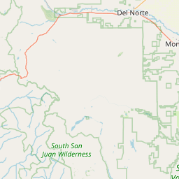
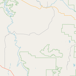

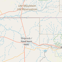
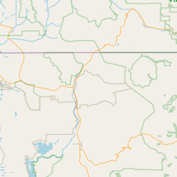
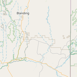
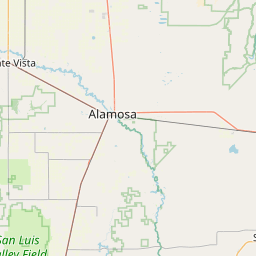
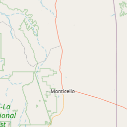
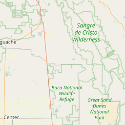
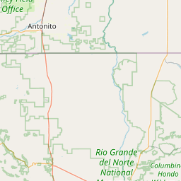
Interactive map of La Plata County, Colorado zip codes.
Cities in La Plata County
La Plata County Demographics
Population
56,039
Zip Codes
3
Cities
1
All demographic data on this page is sourced from the U.S. Census Bureau American Community Survey (ACS) 5-Year Estimates. ZIP code boundary and delivery data is sourced from the United States Postal Service (USPS). Data is updated periodically and may not reflect the most current figures.